Course
This year's route, waypoints and timing.
Placeholder content — replace with the real course map, waypoints and rules once confirmed.
Course map
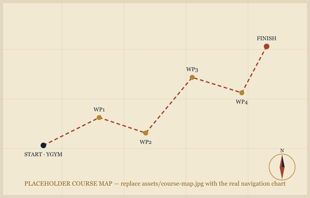
Navigation chart showing this year's route and waypoints.
Route overview
Starting and finishing at Gympie Airfield, this course is circular in nature, making for challenging navigation due to the variation in coastal and hinterland winds — not to mention the distraction of the beautiful scenic views over the Sunshine Coast and Wide Bay regions. Direction will be dependent on the wind direction of the day.
Course facts
| Distance | 189 nm |
|---|---|
| Waypoints | 6 |
| Estimated time | 90 min |
| Minimum altitude | As per CASA VFR rules |
Waypoints
| # | Waypoint | Leg distance | Notes |
|---|---|---|---|
| 1 | Teewah | 19 nm | Overfly to east of airfield before turning |
| 2 | Rainbow Beach | 27 nm | Overfly on runway heading then turn |
| 3 | Hervey Bay | 34 nm | Overfly on runway heading not below 1500' AGL then turn |
| 4 | Maryborough | 15 nm | Overfly on runway heading not below 200' AGL then turn |
| 5 | Biggenden | 36 nm | Overfly on runway heading and then turn |
| 6 | Gympie | 58 nm | Go-around on final not below 200', depart upwind and sequence safely to join circuit |